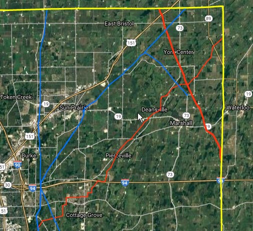
National Pipeline Mapping System (NPMS)
I developed a process using a combination of ArcMap and PL/SQL scripts to identify changes in gas pipelines from year to year to support NPMS requirements.
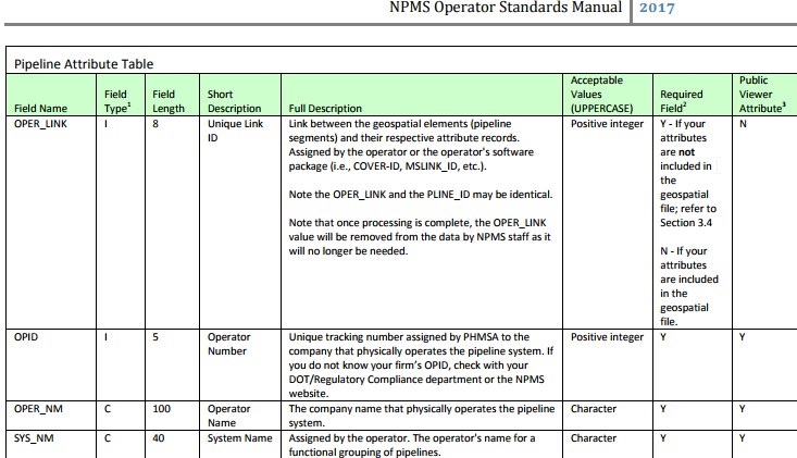
Here is a portion of the NPMS schema the data must be formatted to match.
Gas Distribution Integrity Management Program (DIMP)
I was the technical lead for coordinating, implementing and integrating the DNV-GL Uptime application with ArcGIS. This project involved working with many different work groups, including database analysts, Intel Server and the gas engineering department as well as Esri and DNV-GL.